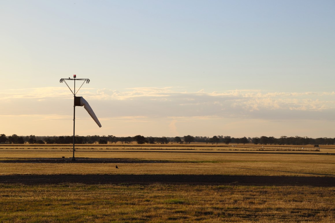
Sudden turbulence, unexpected climbs and heart-pounding descents – discover how pilots handle the invisible force of wind shear.
Flying in diverse weather conditions brings unique challenges, especially in regions prone to sudden wind shifts. Wind shear – an abrupt change in wind speed or direction – can create unpredictable turbulence, affecting aircraft performance and leaving pilots with limited response time.
Here, seasoned pilots share real-life encounters with wind shear and offer insight into recognising, avoiding and managing its effects.
Carl Brewer, a Lilydale flying instructor with 1,500 hours on type, recalls an encounter with wind shear while flying a Jabiru. This incident took place at an airport in a flat valley with a ridgeline 3 nautical miles west and trees along two-thirds of the runway’s western edge, ending abruptly.
‘We were taking off on runway 36 with a strong nor’westerly, around 25 knots,’ he says.
‘After lifting off in the shelter of the tree line, we hit a severe downdraft at 100 feet above ground level. Despite full throttle and near Vy, we were pinned at 100 feet, heading towards rising ground. Suddenly, we shot up to 900 feet without any changes on our part. I guess that’s the sort of thrill glider pilots live for, but I’ve got to say it took a little while for my heart rate to get back to normal ranges. We ended the lesson and landed safely.’
Carl’s experience highlights the risks of wind shear, particularly for pilots flying in and out of regional runways.
What is wind shear?
Wind shear refers to a sudden change in wind speed or direction over a short distance. It can cause rapid changes in lift and airspeed, which can be difficult to manage, especially during take-off and landing.
Common causes of wind shear include thunderstorms, cold fronts, sea breezes and geographical features that disrupt wind flow.
Recognising the signs
According to Grahame Murray, CEO of Valor ‘K, who flies light jets across Australia, pilots should suspect wind shear if they experience uncommanded:
- IAS variations over 15 knots
- groundspeed variations compared to a constant IAS
- vertical speed changes over 50 fpm
- pitch attitude deviations over 5 degrees
- glidepath deviations of 1 dot or more
- heading changes over 10 degrees.
Pilots typically have 5–15 seconds to recognise and respond to wind shear.
‘Most GA pilots will experience wind shear caused by shielding immediately prior to landing or, on hot days, shear from thermal activity over dissimilar surfaces prior to reaching the runway,’ Grahame says
‘The pilot will “feel” it before it is indicated on the instruments. This is the most common type of shear experienced.’
Grahame’s number one tip: stay away from thunderstorms. If your flight path is in the vicinity of an active thunderstorm, you should expect wind shear.
The US Federal Aviation Administration recommends remaining at least 20 nm (37 km) from thunderstorms.
Sea breezes: key risks
Sea breezes occur when cooler air from the ocean moves inland to replace the rising warm air over land. They can create unpredictable wind shear, especially during late afternoon or early evening in coastal regions. Crosswinds are also common, complicating take-offs and landings.
Ralph Holland, a Mooney pilot from Canberra, explains how wind reversals and turbulence in the area create challenges. ‘When the sea breeze reaches Canberra, it hits above circuit height and mixes with the remaining air which might be a northerly or a westerly,’ he says.
‘Those conditions are very rough as the air tends to mix around circuit height. Under these conditions it is not unheard of to have a tailwind above circuit height while the wind is 090 on the ground. On some occasions, the shear has caused my aircraft to experience massive sink. My option then is to point the nose down slightly and to power up.’
Indicators of wind shear at coastal airports
- Dust or debris movement: erratic movement of loose debris can indicate wind shear.
- Wind lines on water: for coastal runways, observing the surface of the water can provide clues. Lines or patches of rough water surrounded by calmer areas suggest varying wind speeds and directions, which may signal wind shear.
- Cloud formations: fast-moving clouds or sharp edges in cloud formations can signal wind shear.
- Temperature shifts: a sudden drop in temperature, especially when flying near bodies of water or after a hot day, may suggest the onset of a sea breeze, which can bring wind shear.
Managing wind shear
Wind shear can present serious challenges during take-off and landing. With the right strategies, pilots can better manage its risks during these critical phases of flight.
Take-off:
- delay take-off if wind shear is detected on the runway
- maintain a higher take-off speed to counter loss of lift.
Landing:
- approach at a higher airspeed
- if wind shear occurs below 500 feet, perform a go-around and attempt another landing.
Preflight planning:
- check local weather reports and consult other pilots familiar with the area
- avoid thunderstorms within the vicinity of your flight path.
For pilots operating in coastal or regional areas without advanced wind shear detection systems, preparation and vigilance are key to safely navigating wind shear. By recognising telltale signs and employing practical strategies before and during flight, pilots can minimise the risks associated with this dangerous weather phenomenon.
Weather and forecasting resources
Weather and forecasting is one of the focus topics of CASA’s ‘Your safety is in your hands’ campaign. For more insights on navigating weather challenges, be sure to visit the weather and forecasting page on the pilot safety hub.


