In the Yankunytjatjara language of the Yankunytjatjara people, ‘napartji napartji’ means ‘to be reciprocal.’
Chris Warrior lives by this expression in his personal life and business.
A Kokatha man who grew up in South Australia, Chris first encountered drones while flying remote controlled aeroplanes in his youth. While working as a technician in the mining industry, he discovered the commercial potential of drones, like the DJI Matrice 300 for generating 3D maps. He also witnessed the power of community engagement in promoting Aboriginal employment programs. Stranded in Victoria during the COVID-19 pandemic, he seized the opportunity to pivot careers, driven by a desire to give back.
Today, Chris owns and operates Wiru Drone Solutions with his partner, providing commercial drone services and training programs in Yorta Yorta Woka/Shepparton. Together, they’re paving the way for First Nations entrants to the industry.
Starting out wasn’t smooth sailing for Chris. Finding a mentor to guide him into the industry proved challenging, and the remote pilot licence (RePL) exam posed its own set of hurdles. However, determined to make a mark, he drew on advice from friends and secured funding through a local employment program. With newfound resolve, he decided to become the mentor he once sought.
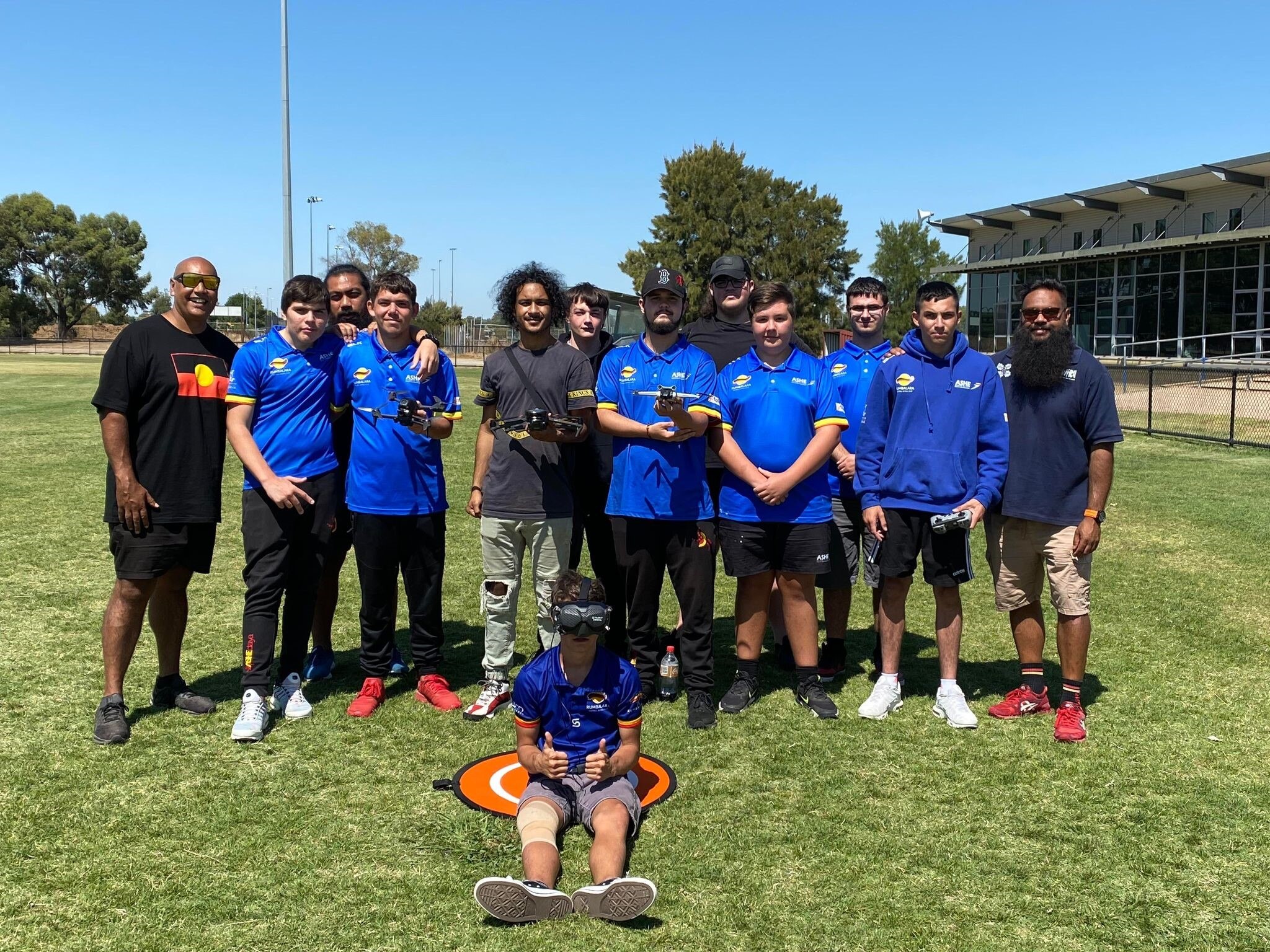
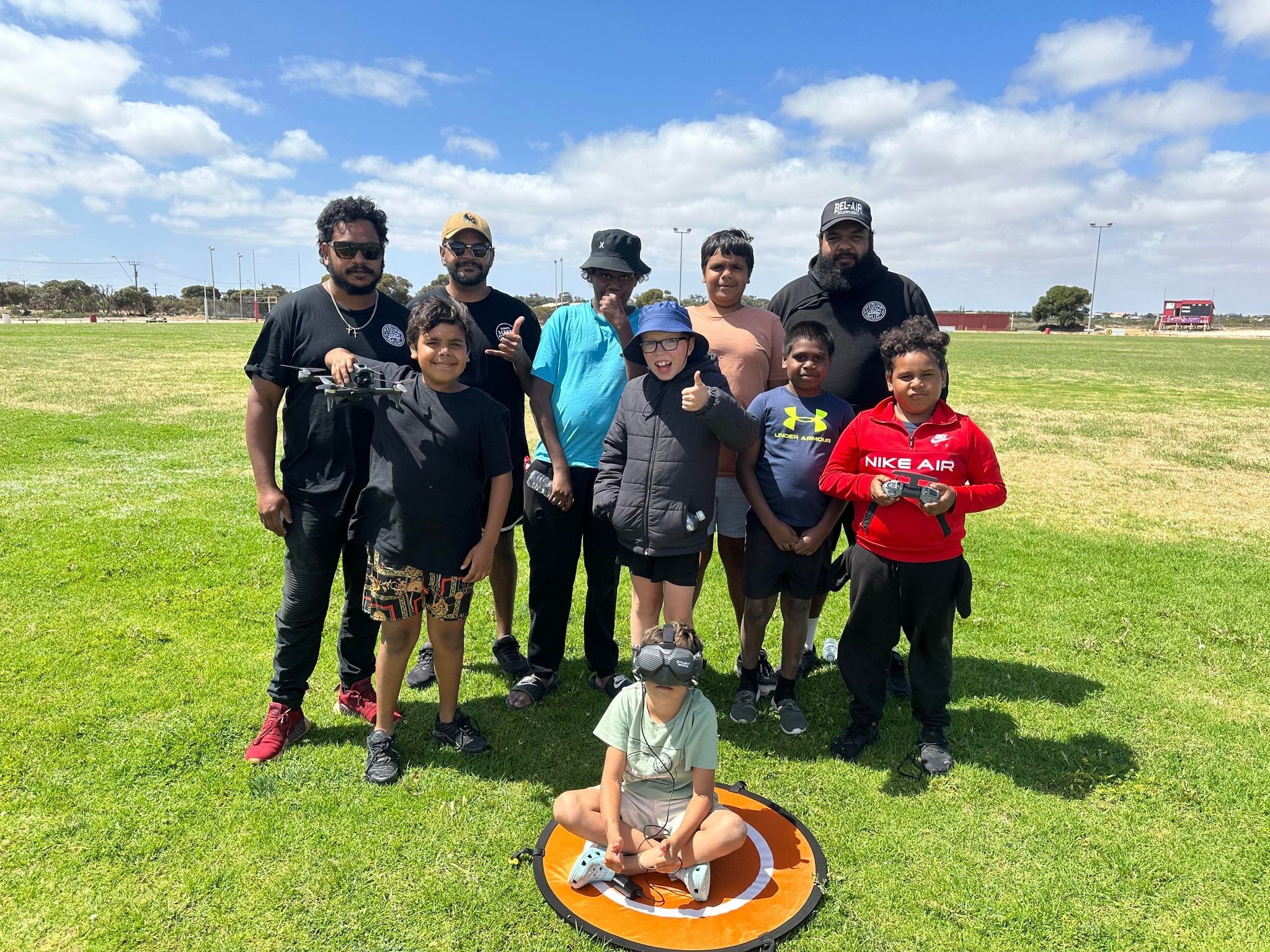
Today, mentorship stands as a cornerstone of Wiru Drones’ services. Their program demystifies the RePL process, imparting knowledge on risk assessments, airspace navigation and interpreting weather. They also offer hands-on flying experience.
To ensure safety, Chris guides operators on how to conduct a full risk assessment. ‘We get them to identify potential hazards. I want to make sure that they understand the risks because I don’t want them getting in trouble,’ he says.
On the commercial end, Chris applies his mining and community engagement background to produce cultural maps. ‘We’re working with traditional owner groups to capture country,’ he explains. ‘We’re creating 3D maps of heritage sites using photogrammetry and LiDAR.’
LiDAR – light detection and ranging – uses a laser to measure distance.
‘Many ranger groups use the information we provide to better manage their Country. For example, if there’s been disturbance to a heritage site, we can create buffer boundaries with accurate GPS coordinates around them.’
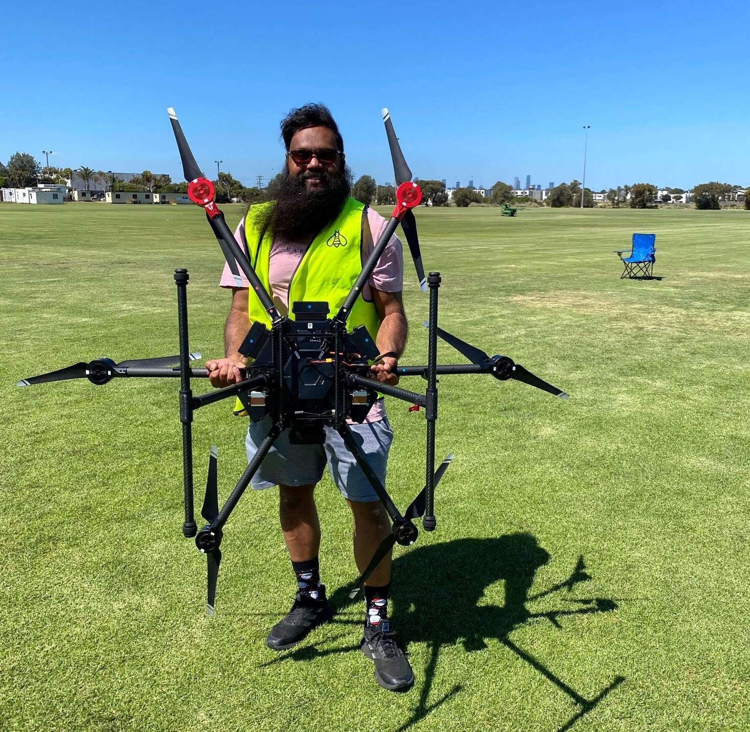
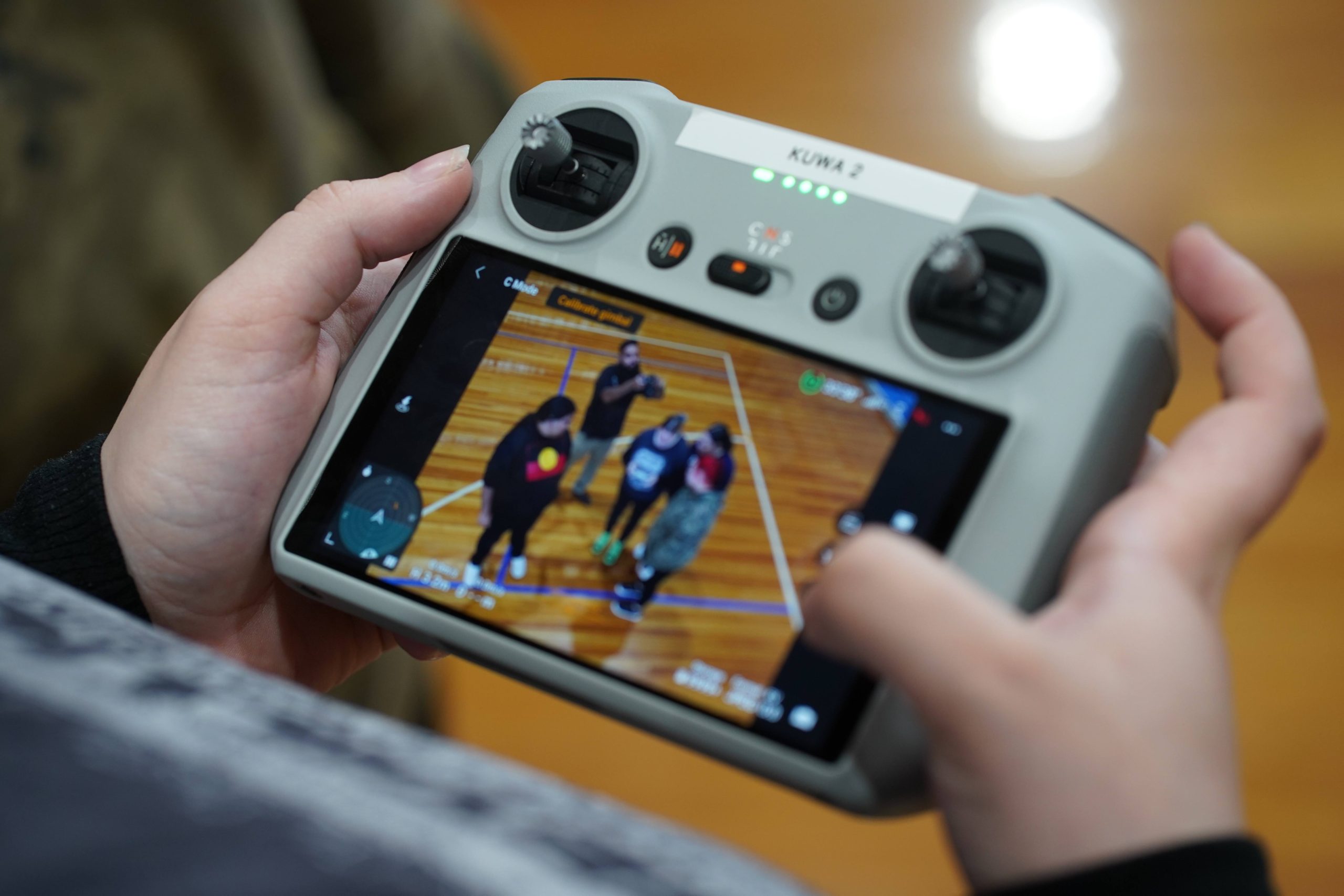
Chris has obtained a remotely piloted aircraft operator’s certificate (ReOC) and his RePL privileges permit him to operate drones weighing up to 25 kg. Chris is also pursuing beyond visual line-of-sight (BVLOS) RePL privileges. He has a fleet of 6 drones, including the DJI Mavic 3 Enterprise and M300 RTK, selected for their survey and mapping capabilities.
His top safety tip for new and emerging drone operators is to plan ahead and carry a pre-flight checklist. Though his flights rarely take him higher than 80 metres for optimal LiDAR, Chris keeps within the 120-metre height limit. He does this by calibrating his drone to not exceed the maximum operating height. Chris also considers the rising and falling terrain of the land he’s surveying.
One day soon, Chris hopes to have a fleet of First Nation remote pilots and more staff. ‘I want to break down that industry wall and provide an opportunity for more First Nations people to get into the drone industry,’ he says.


