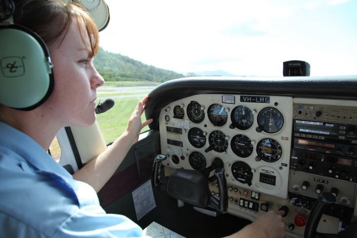
With the Bureau of Meteorology predicting a hot and dry summer, it’s time for all recreational and general aviation pilots to brush up on the rules about in the vicinity of bushfires, and how to properly prepare for flying during the bushfire season.
Whether you fly a powered aircraft, helicopter, glider or drone, there are a range of safety hazards to consider.
Low visibility and spatial disorientation
The most obvious hazard is low visibility. If you fly into smoke, you could lose your horizon and become spatially disorientated. So stay away from smoke!
Bushfires can ‘create their own weather’
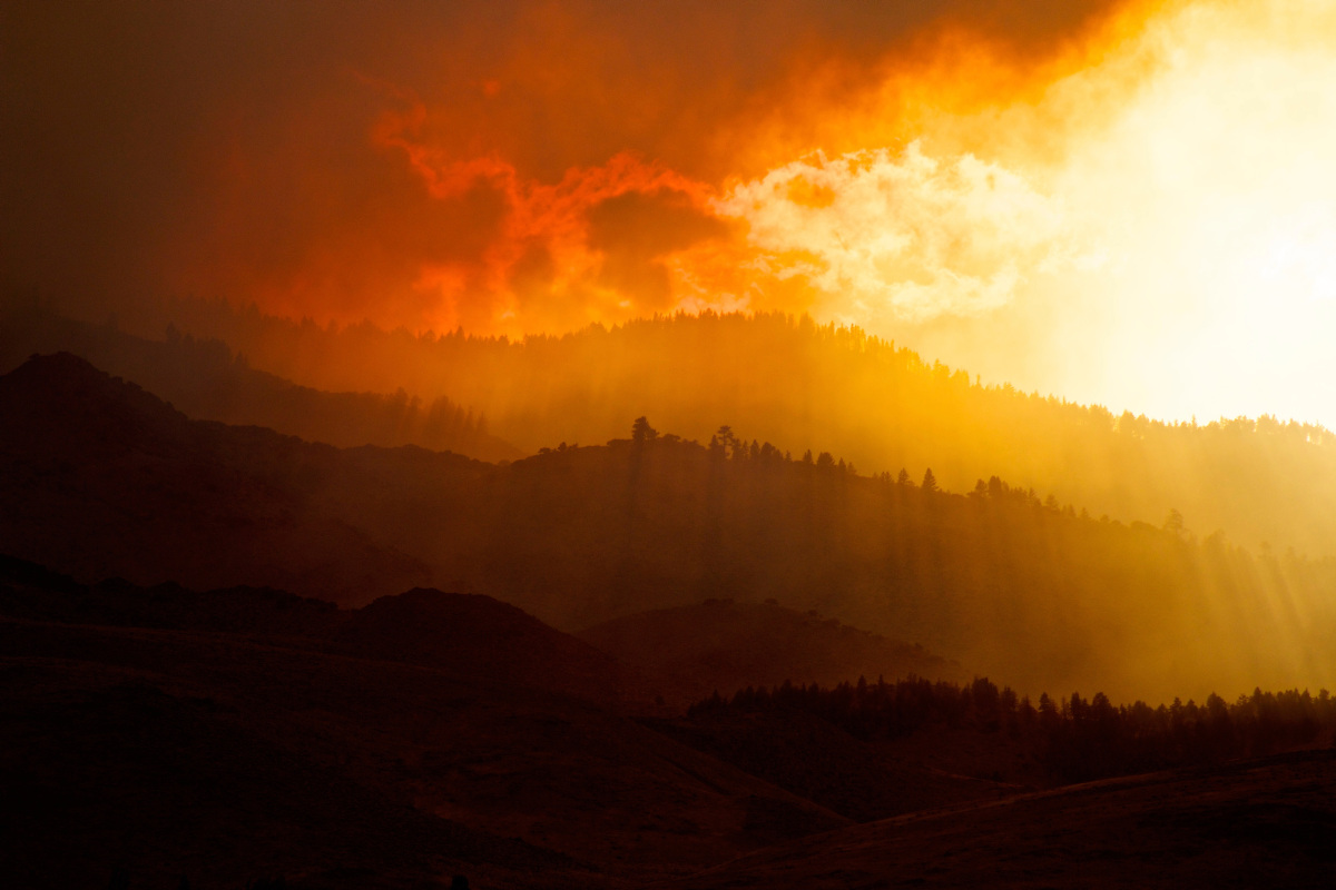
A large intense bushfire can alter the surrounding atmosphere through the release of energy. Pyroconvective clouds can develop above such fires and in some cases, develop into pyrocumulonimbus clouds or fire-generated thunderstorms.
Pyrocumulonimbus clouds are an extreme hazard for people in the air and on the ground. Here’s how they form and why they’re so dangerous:
- When intense heat from a bushfire rises rapidly, it is visible as a smoke plume and draws in cooler air.
- As the plume rises higher, it cools and typically moves from hot and dry levels to cooler and moister layers of the atmosphere.
- If the plume encounters sufficient moisture and instability as it rises, a pyrocumulonimbus cloud can develop.
- The heat from the fire contributes to a buoyant updraft through the cloud that can reach the lower levels of the stratosphere (that’s the ozone layer to you and me), where transported smoke particles can circulate in the upper atmosphere for years.
- An intense electrical charge develops when ice particles form and start colliding. This charge is released as lightning. Because pyroconvective clouds contain lots of ash and other small particles that act as cloud condensation nuclei, they tend to have small raindrops.
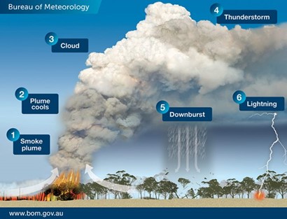
Pyrocumulonimbus clouds are difficult to forecast and can change direction as they rise rapidly through the atmosphere.
Updrafts can be so strong that ‘fire-generated vortices’ with tornado strength winds can form, such as those seen in the 2019/20 Black Summer bushfires.
Flying near bushfires can be hazardous for 2 reasons.
Dr Mika Peace, High Impact Weather Researcher at the Bureau says the first is that a large intense fire can significantly alter the background environmental winds.
‘Winds near and around the fire plume can be opposite in direction and an order of magnitude stronger than expected,’ she says. ‘These winds cannot be forecast, as the fire processes are not captured in standard weather forecasting models. Severe turbulence and wind shear can also occur, which may be in smoke or in clear air.’
The second hazard is pyroconvective clouds.
‘Again, these are not resolved in standard weather forecasting models, but they can loft ash and other debris high into the air and produce turbulence, lightning and wind shear,’ Dr Peace says.
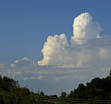
‘Deep pyrocumulus in the form of towering Cu (cumulus congestus cloud) has been associated with extreme weather and fatalities, even if lightning is not observed.’
Aerial firefighting in the area
Near an active bushfire, it is likely that aircraft will be flying in the area as their crews attempt to control the blaze.
Local firefighting services may also use drone technology to survey the fire ground to see where fires are burning and where the best location is to extinguish the bushfire.
Fire crews need the airspace to be clear to do their jobs effectively. Even though the law allows crewed aircraft to fly within 5 nautical miles and 3,000 feet above ground level from fire boundaries, it’s better to avoid the area completely to avoid interfering with firefighting efforts.
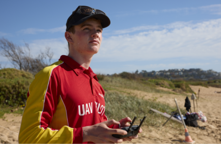
Bushfires are no drone zones
Drones should never be flown near any disaster zones, including fire, floods, electrical storms, cyclones and hurricanes. The only exception in a bushfire situation is fire agencies who may use drone detection technology to intercept drone activity in a fire zone.
Using your drone to film a fire front or to check how far away an active bushfire is, could hamper emergency services and break the drone safety rules.
Fines for non-compliance of the rules are substantial, with unauthorised operators copping $1,650 fines per offence, in addition to CASA cancelling the accreditation, licence, certificate or registration of a drone user.
In an emergency, members of the public are encouraged to report illegal and unauthorised drone activity to the police.
For non-emergency concerns, people should contact CASA via our drone complaints form where you can submit a concern about any drone activities you may have witnessed.
Further information
If you are ever in doubt about the rules, visit our flying near bushfires webpage.
Our Pilot safety hub also has some great advice on what to do when flying in different meteorological conditions, including intense heat.
You can also visit the Know Your Drone website where you can get some useful tips for drone operators.

